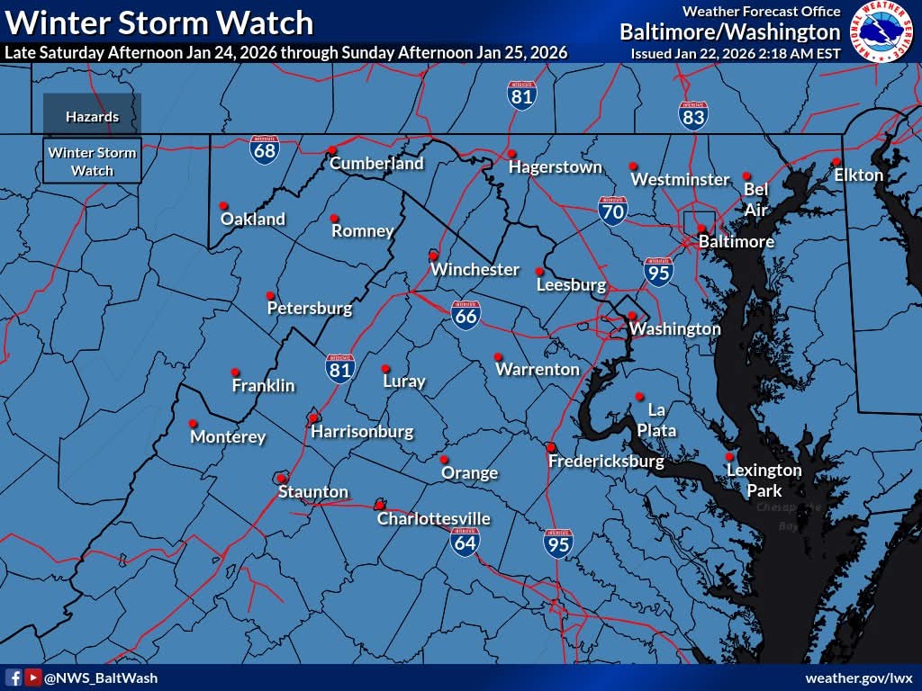
The National Weather Service Baltimore Washington reports Winter Storm Watches have been issued all over the region starting Saturday afternoon into Sunday as a large area of precipitation will overrun Arctic air in place over the Mid-Atlantic.
This will likely lead to widespread significant snow beginning late Saturday, with the potential for ice Sunday especially south of Annapolis near and east of Interstate 95.
In addition to the high threat for significant snow and ice, very cold temperatures are expected Friday night through the middle of next week with sub-zero wind chills likely at times.
For updates on the weather forecast, go to NWS website